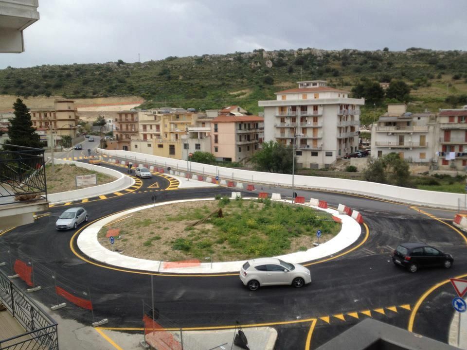
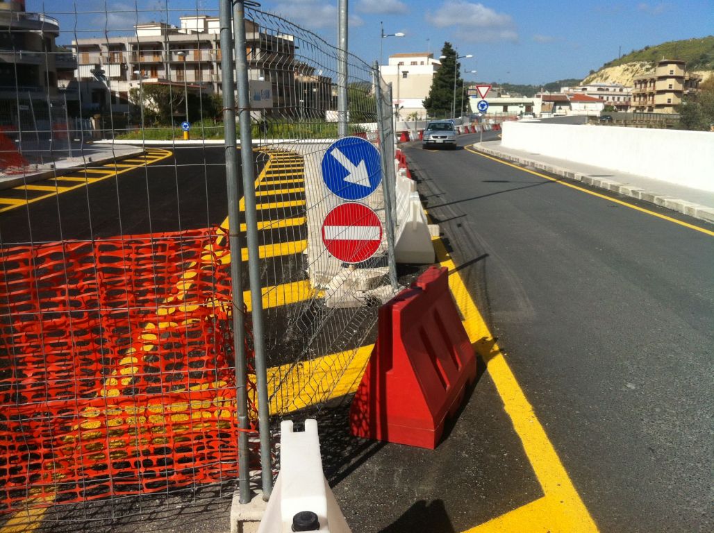
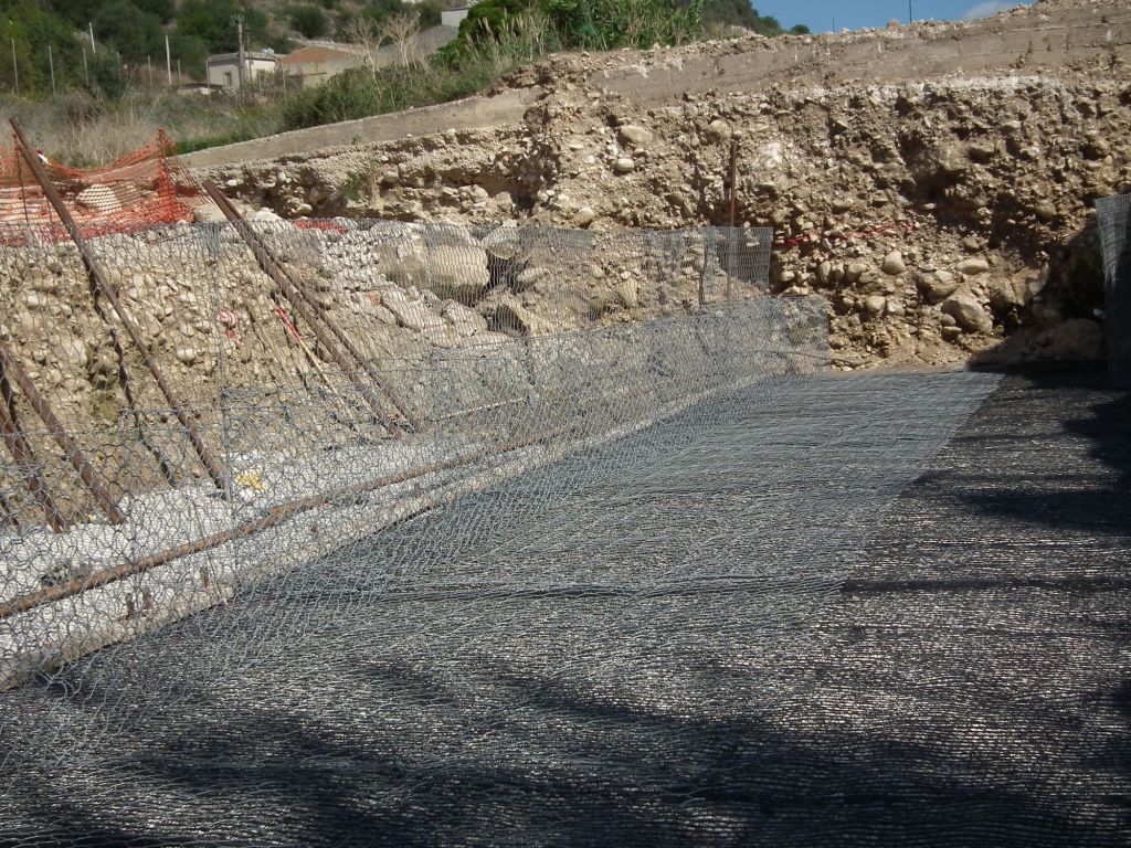
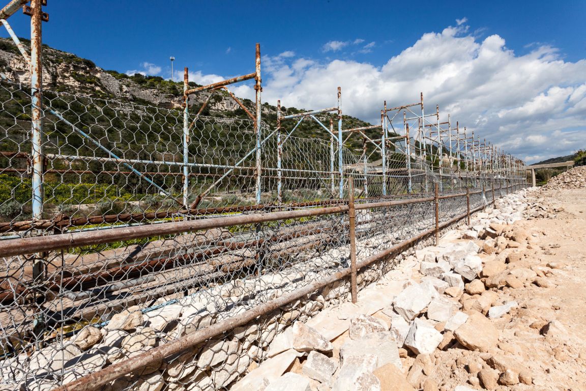
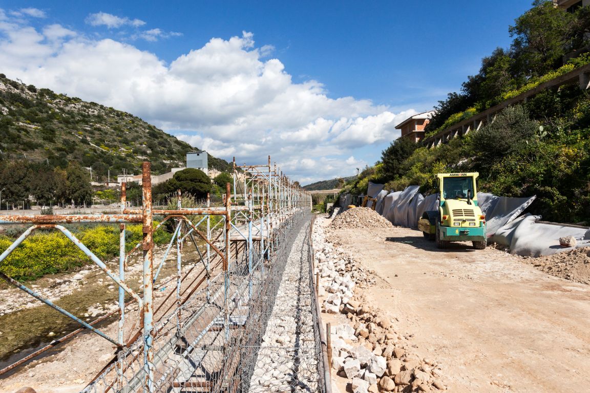
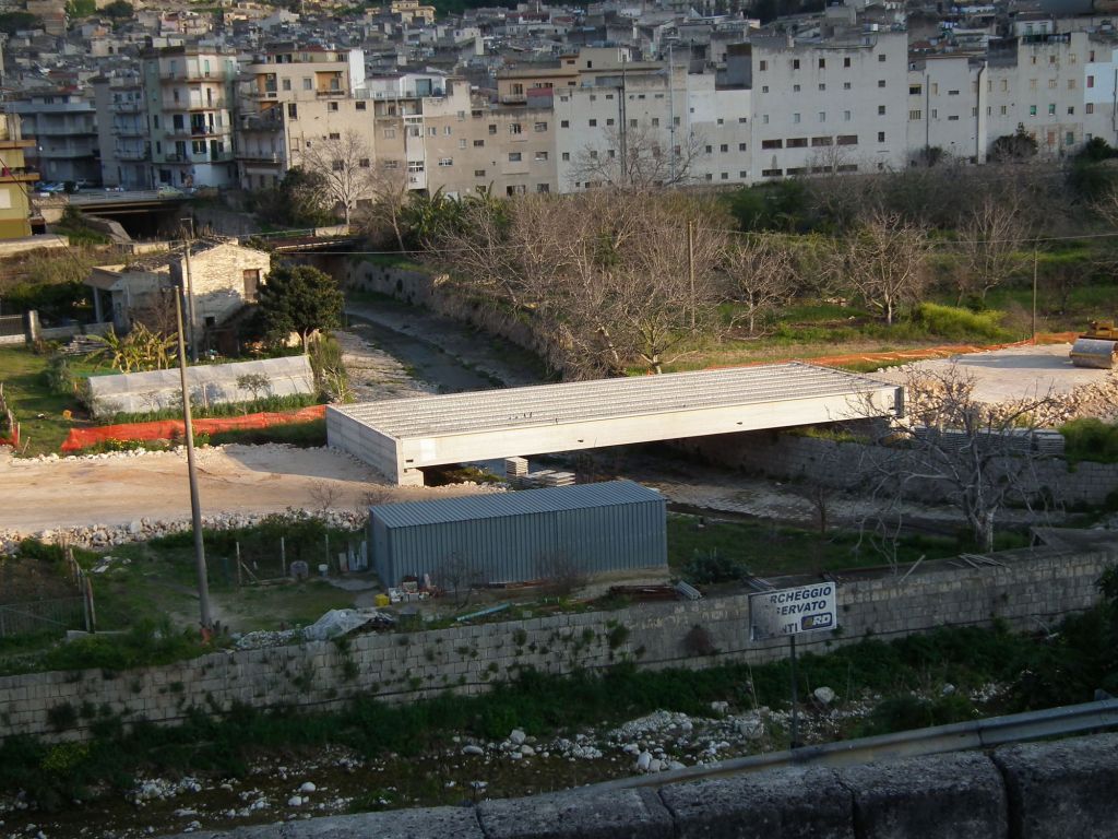
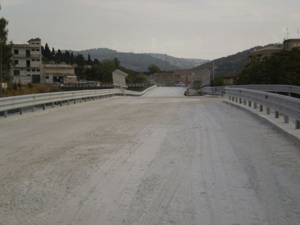
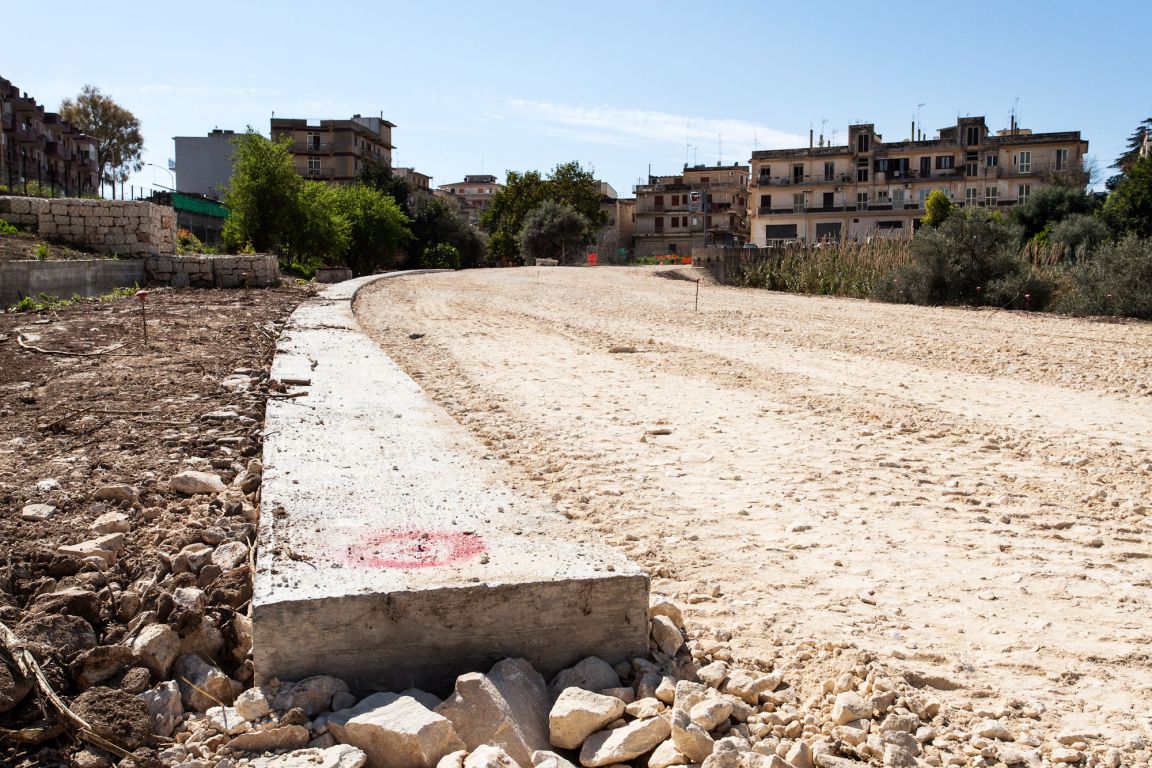
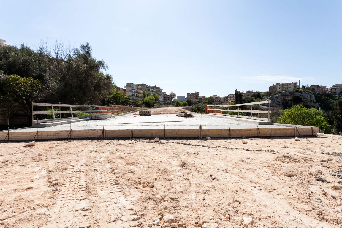
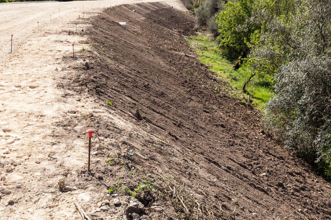
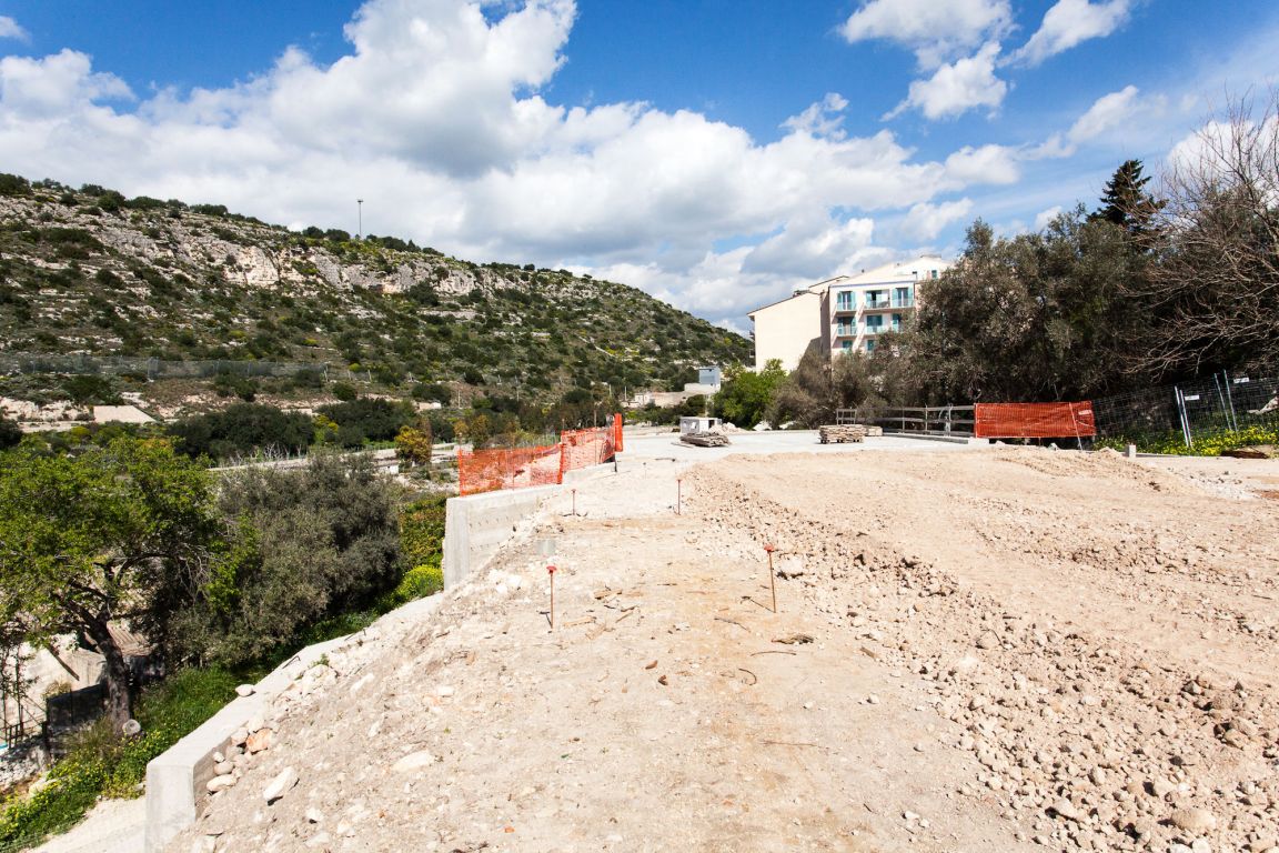
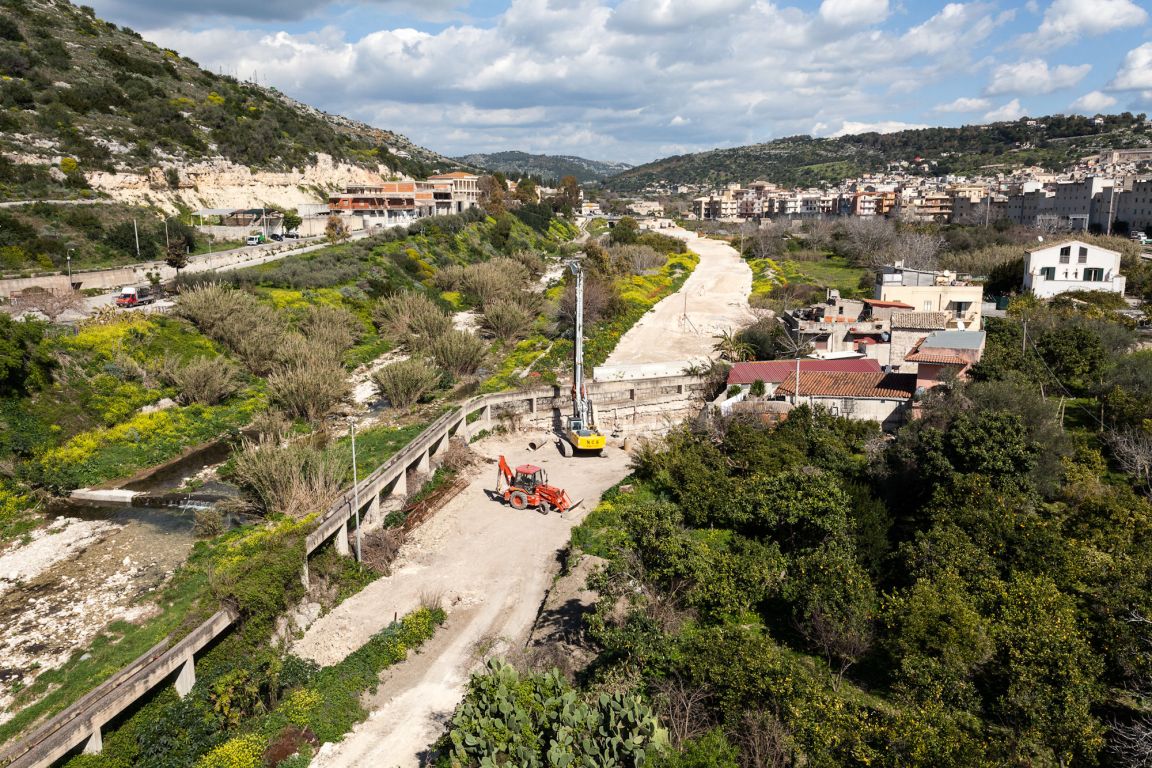
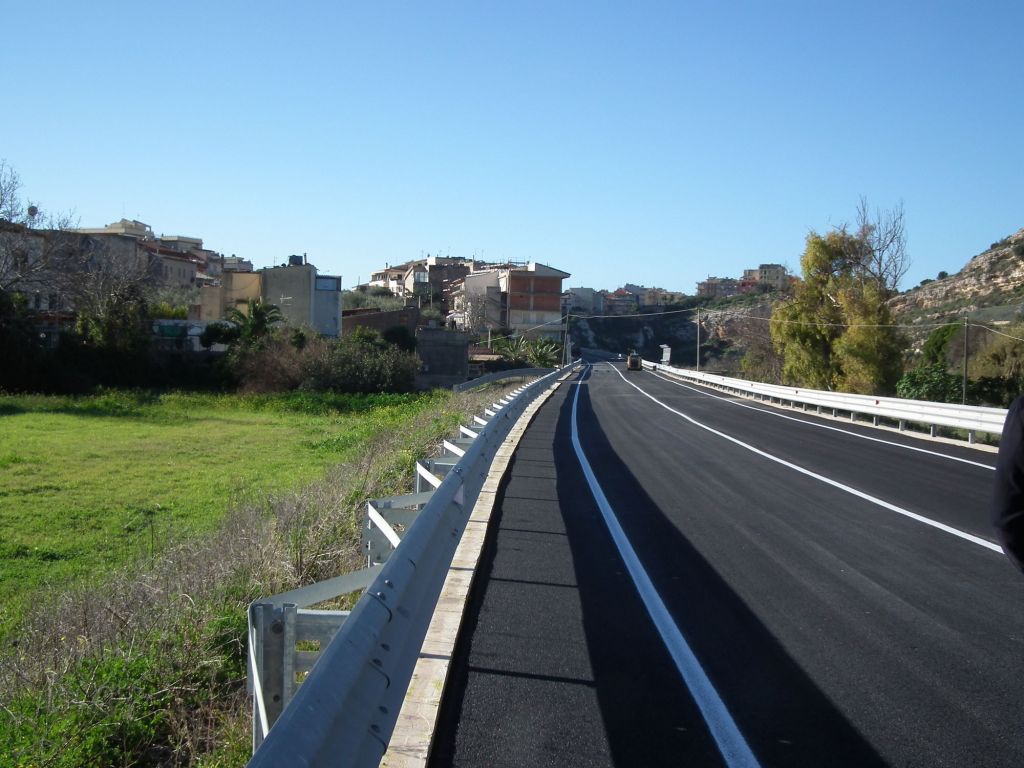
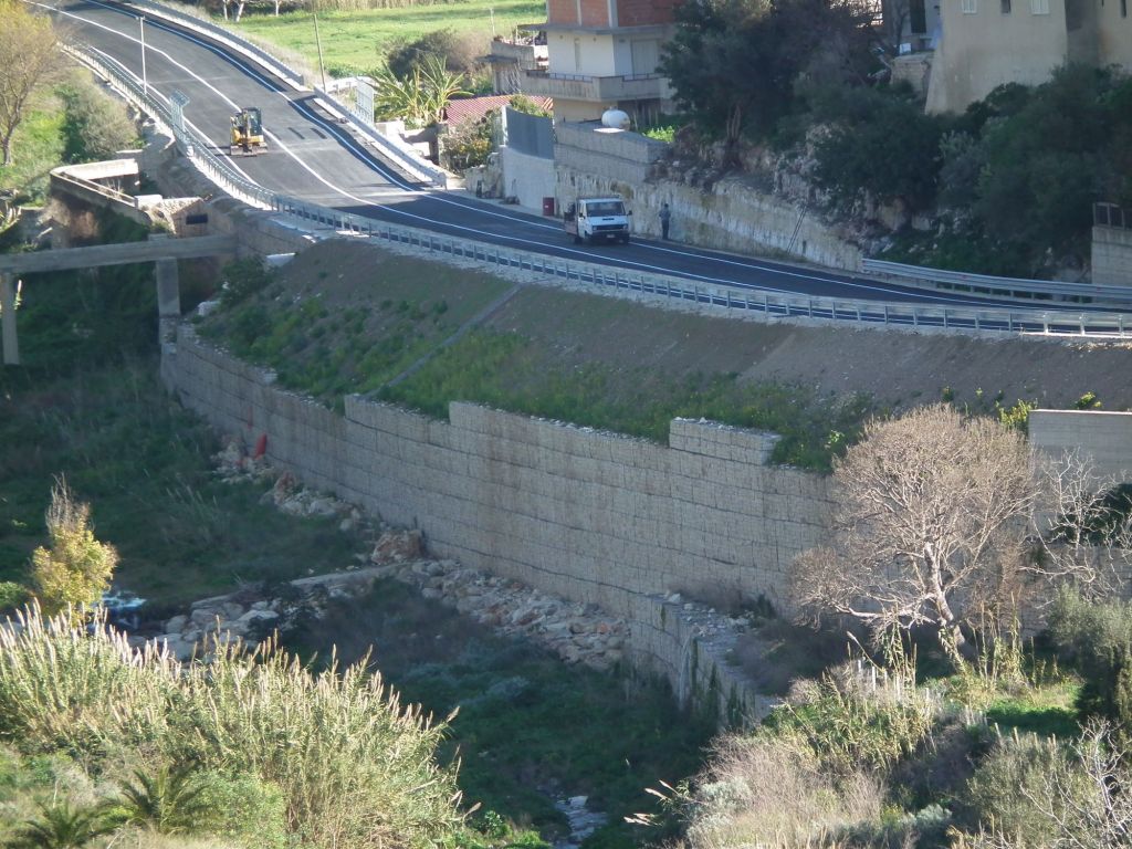
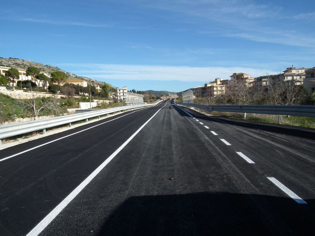
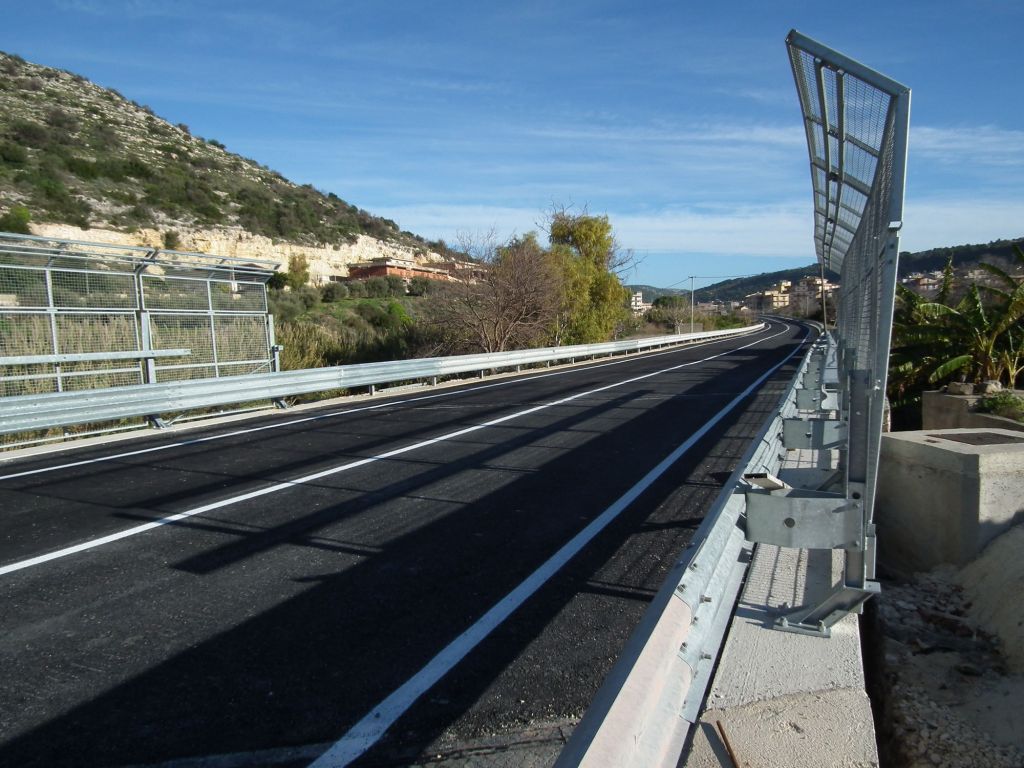
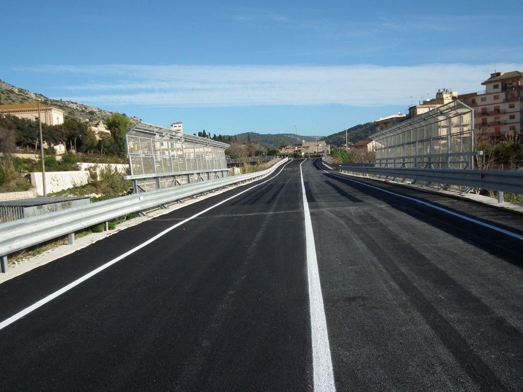
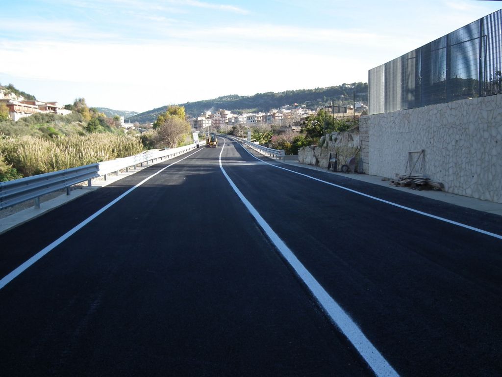
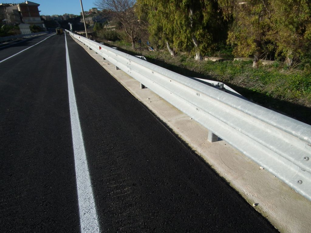
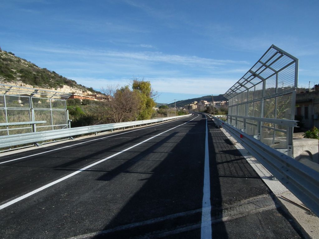
The street named "Circonvallazione Ovest" was born from the need civil protection to create an escape route from the town of Scicli in case of seismic event.
This road axis starts from Via Noce and runs the entire length of the river "Modica-Scicli" crossing Via Ospedale near the existing bridge over the river.
The stretch of road includes :
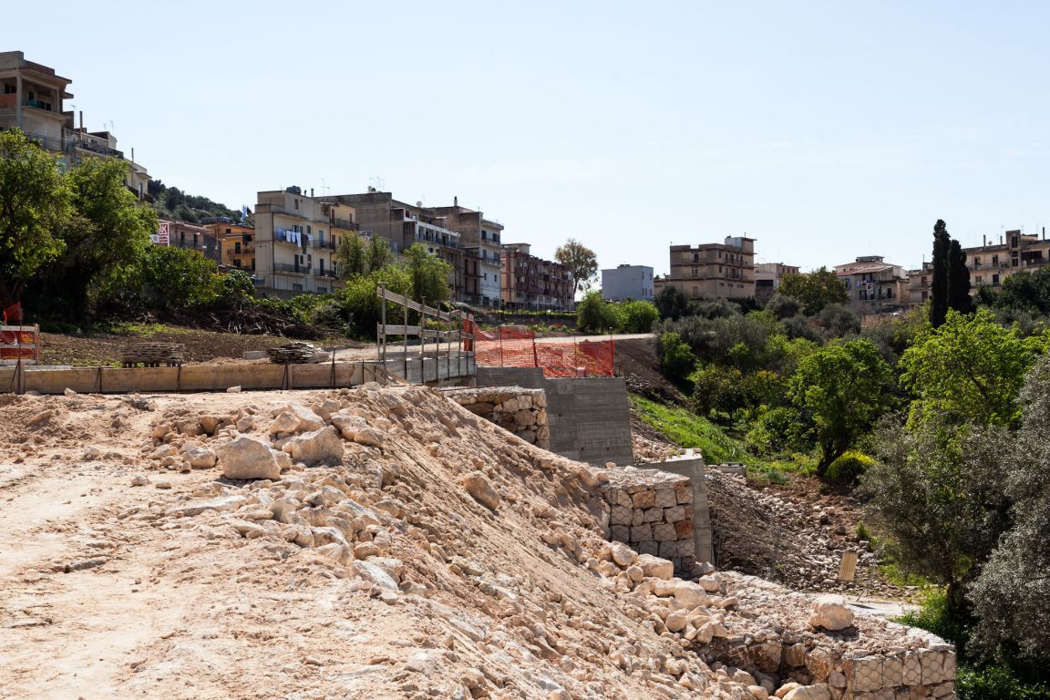
The trunk of the roadway, for a length of 1,100.00 m, starts from Via Noce (Sect. 1), which will connect Viale I Maggio by means of a planned roundabout and will end with the intersection on the bridge of Via Ospedale (Sect. 64).
The intersections of the planned road network with the existing roads will be regulated with junctions located as follows:
- junction planned on Viale I Maggio, suitably sized to properly regulate the flow of traffic;
- junction on "Via Ospedale", near the bridge, which will regulate traffic flow, given the presence of Ospedale Busacca; for this reason, there is a planned widening of the existing bridge;
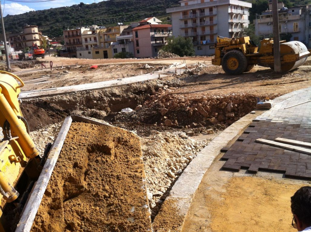
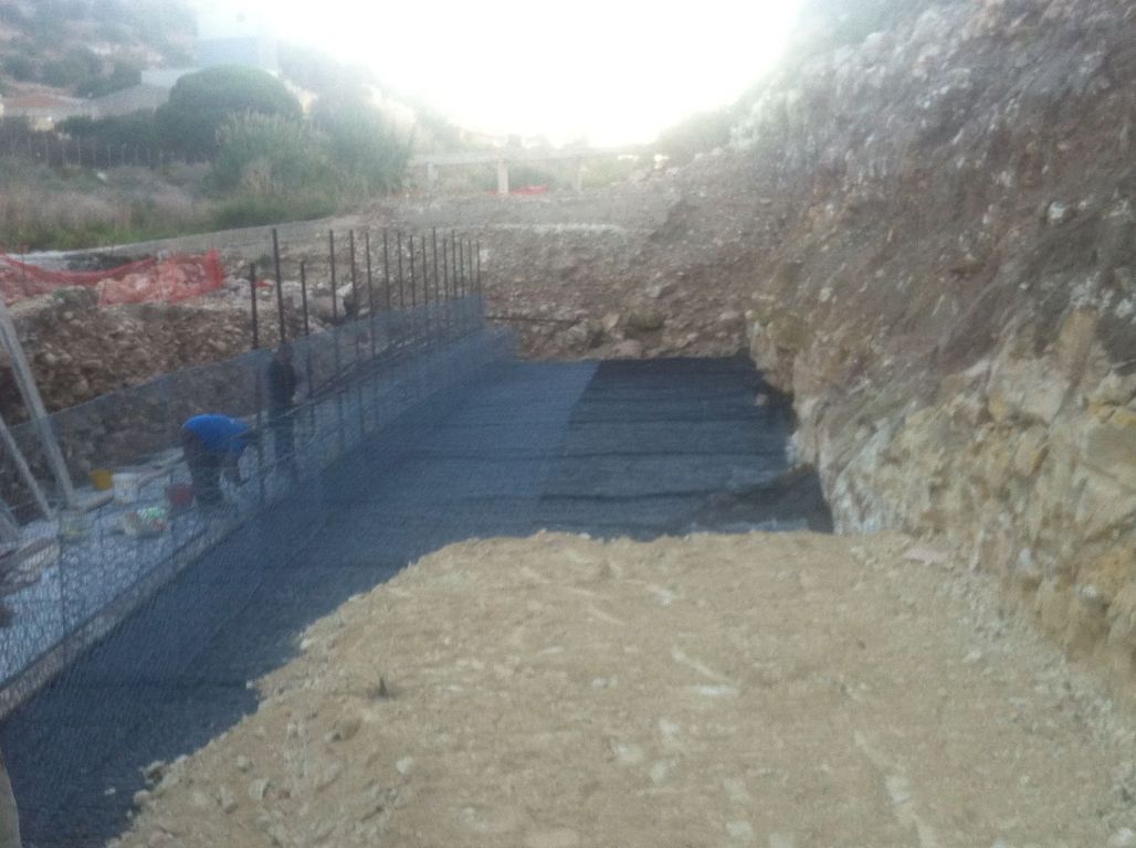
The works planned in the project are:
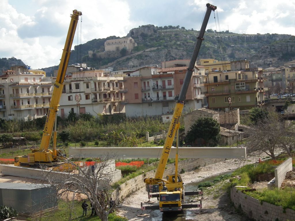
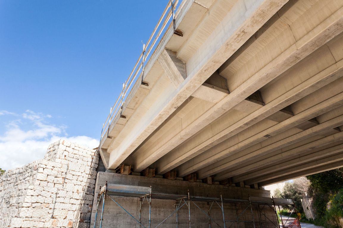
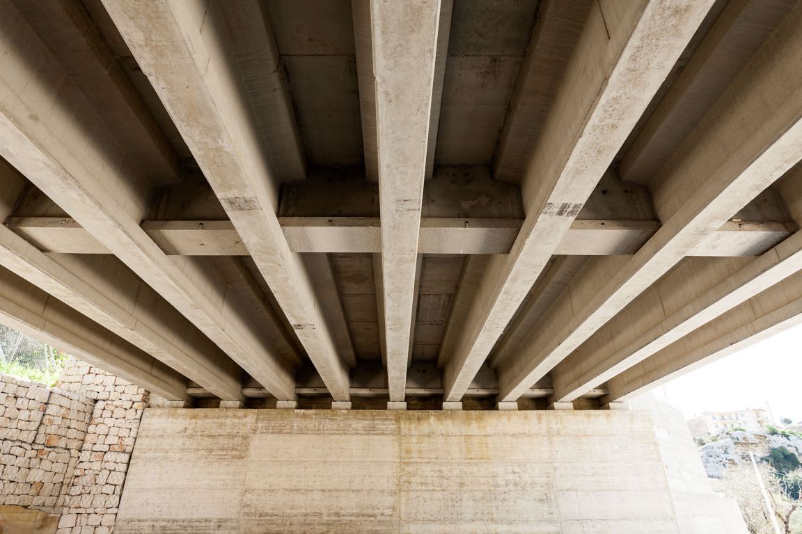
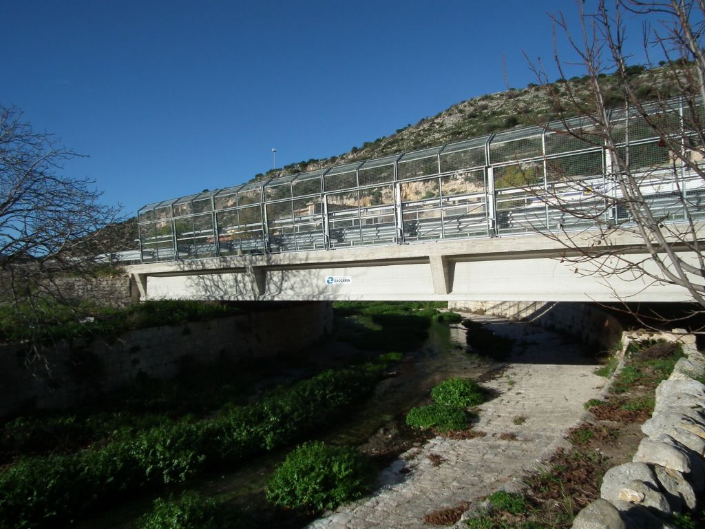
- 3 bridges on the rivers"S. Leonardo", "S. Bartolomeo" and on the outer road in the S. Leonardo area;
Morphological features:
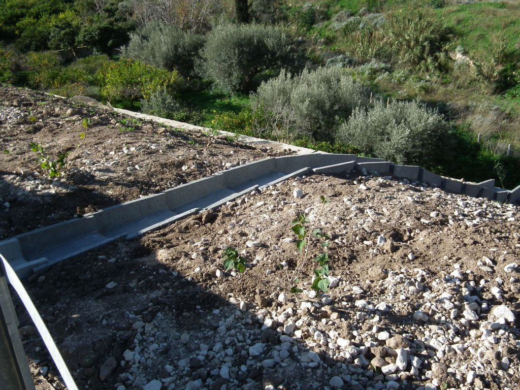
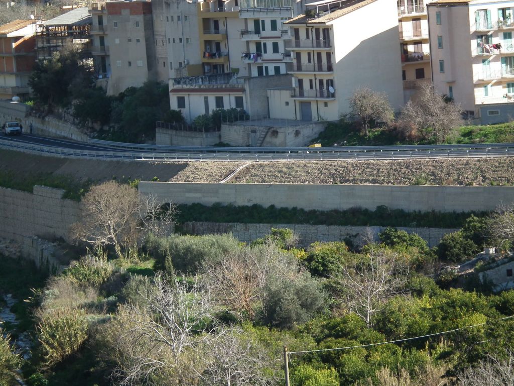
The Circonvallazione Ovest will follow, for a majority of its way, in proximity to the valley floor of the river Modica – Fiumelato, in the western part of the town of Scicli.
The altitude will vary between a maximum of 100 m and 110 m above sea level (in correspondence with the planned intersection with Via Noce, at the SW end of the way, and the section which runs NE, towards Via Ospedale) and a minimum of about 80 m above sea level (in the section between Via Brodolini and the water treatment tanks). The inclinations will be kept to an average values of a low level (2÷3%), with the exception of the final SW section and the area of the level crossing in Via Ospedale, where the values will exceed 4÷5%.
